The Mysterious Disappearing Rivers Explained
Causes and Global Impact

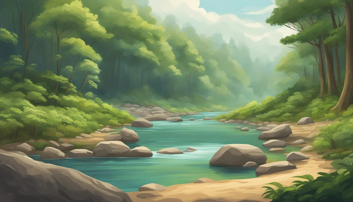
Mysterious disappearing rivers are waterways that seem to vanish as they plunge into sinkholes, continuing their journey through underground cave systems before resurfacing kilometers away. This phenomenon occurs in landscapes shaped by limestone and other soluble rocks, creating networks of hidden passages beneath the earth.
These unique rivers intrigue scientists, outdoor enthusiasts, and travelers alike. Hiking trails and kayaking adventures often feature stretches where a stream or river suddenly disappears below the surface, only to reappear later in another location, offering a distinct experience in nature exploration.
The presence of disappearing rivers highlights the hidden complexity of subterranean environments. Observing these waterways can reveal insights into the geology, hydrology, and ecology of a region, making them a compelling subject for anyone interested in understanding Earth’s natural processes.
Understanding Disappearing Rivers
Disappearing rivers fascinate both scientists and travelers due to their unique behavior and role in natural landscapes. These rivers interact directly with underlying geology, often vanishing from sight before reemerging elsewhere.
Definition and Characteristics
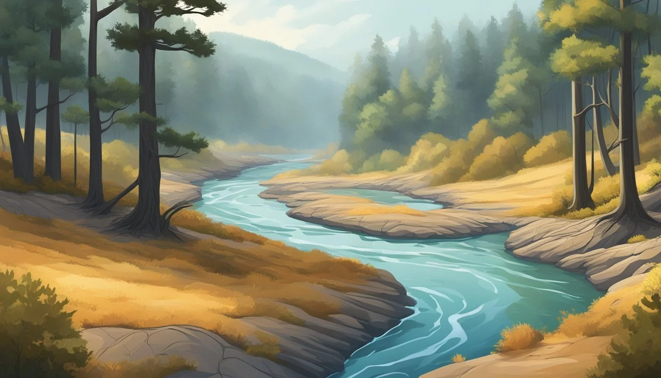
A disappearing river is a surface stream that vanishes into the ground at one or more points along its course. This usually happens in terrains with soluble bedrock, such as limestone, where water can seep through cracks, sinks, or caves.
Key characteristics of these rivers include sudden loss of surface flow, creation of sinkholes, and reappearance in springs or other channels downstream. Many disappearing rivers are part of karst landscapes—geological regions marked by sinkholes, underground rivers, and caves.
A disappearing river may only vanish during certain water levels or seasons. Some rivers have multiple points where the water goes underground, making their paths unpredictable and difficult to trace.
Types of Disappearing Rivers
There are several types of disappearing rivers, determined mainly by how and where they lose flow. The three primary categories include:
Allogenic Rivers: Originate outside a karst region and lose their water as they flow across and into it.
Autogenic Rivers: Form entirely within the karst terrain, usually as a result of direct rainfall and surface runoff.
Intermittent Losing Streams: Only disappear underground during parts of the year, such as during periods of low rainfall.
Each type interacts differently with the landscape. The specific geologic and hydrologic conditions determine how much water disappears and how often the river reappears.
Global Distribution
Disappearing rivers are found on every continent except Antarctica. They are especially common in areas with extensive limestone or gypsum deposits.
Notable examples include the Wakulla River in Florida, the Alapaha River in Georgia, and the Santa Fe River, which vanishes underground for several miles.
Europe features many such rivers in the Dinaric Alps and along the Danube. In Asia, karst territories in southern China host disappearing streams.
The presence of disappearing rivers often defines local ecosystems. These watercourses create unique aquatic habitats and influence patterns of surface and groundwater usage.
Natural Causes Behind River Disappearance
Disappearing rivers can often be traced to natural forces that reshape the land or affect water flow. Some causes are linked to unique geological features and long-term changes in regional climate.
Karst Landscapes
Karst terrains are formed by the dissolution of soluble rocks, such as limestone, gypsum, or dolomite. These landscapes are characterized by sinkholes, underground caves, and disappearing streams. Water entering exposed cracks or sinkholes can quickly vanish from the surface, flowing underground through intricate cave systems.
A well-known example is the Alapaha River in Georgia, USA, which intermittently disappears into sinkholes for several miles. Key features of karst topography include:
Subterranean river networks
Frequent surface water loss
Rapid drainage in rainy seasons
Karst processes can make mapping river routes challenging, as significant water volume is redirected underground. Precipitation and surface water patterns can shift dramatically in these regions, leading to entire rivers disappearing temporarily or permanently from view.
Climate Influences
Climate plays a direct role in river disappearance, especially in regions with variable precipitation and high evaporation rates. Prolonged droughts can lower river levels drastically, causing weak or seasonal rivers to dry up.
In arid or semi-arid zones, periods of low rainfall are particularly influential. Rivers such as the Todd River in central Australia may only contain surface water after rare heavy rains. Key climate factors that affect rivers include:
Reduced snowmelt in mountain regions
Prolonged drought periods
Higher temperatures accelerating evaporation
The intensity, duration, and frequency of these events determine if a river vanishes temporarily or is lost entirely. Shifting climate patterns may also alter historical river courses or eliminate reliable water sources altogether.
Geological Shifts
Natural geological events can redirect or cut off established river channels. Tectonic activity, such as earthquakes or uplift, may raise sections of riverbeds, causing water to find new paths underground or around obstacles.
Landslides and volcanic eruptions can also block river flow, leading to sudden disappearance. For example, the 1980 eruption of Mount St. Helens altered the North Fork Toutle River’s flow by creating new debris dams that rerouted water underground.
Important geological processes that contribute include:
Fault movements shifting river alignments
Eruptions depositing thick volcanic layers
Landslides creating natural dams
When combined, these geological changes may permanently alter regional hydrology, leading to rivers vanishing from the surface or appearing in entirely new locations.
Human Impact on Disappearing Rivers

Human activities are a significant factor in the reduction and disappearance of rivers. Changes in land use, water management, and infrastructure can profoundly alter natural watercourses.
Urbanization and Development
Urbanization often leads to widespread land cover changes, replacing natural vegetation with concrete and asphalt. This reduces soil infiltration and increases surface runoff, altering river flow patterns. Stormwater drainage systems can rapidly channel rainwater into rivers, causing flash floods and erosion.
In cities, impervious surfaces prevent groundwater recharge. This can lower river base flows during dry periods, making rivers more prone to disappearing. Pollution from urban runoff, such as oils and heavy metals, degrades water quality and can make river sections inhospitable to aquatic life.
Furthermore, wetlands and floodplains are frequently filled or drained to create space for housing and business developments. This reduces the natural capacity of the environment to store and slowly release water, increasing the risk of rivers drying up during droughts.
River Diversion Projects
River diversion projects are constructed for multiple reasons, including hydroelectric power, agriculture, and urban supply. Diverting water from a river can significantly reduce downstream flow, sometimes causing entire stretches to dry up. Redirected rivers may no longer reach their historical endpoints, such as lakes or seas.
Many of these projects change the natural timing and volume of water flows. Disrupted flow regimes harm fish migration, sediment transport, and local agriculture that relies on predictable water levels. Diverted rivers may also face salinization and loss of habitat for native species.
Large-scale diversions, such as those for industrial use, often operate year-round. This constant withdrawal places stress on river ecosystems, especially during periods of low rainfall. The cumulative impact of multiple diversion schemes can fragment river systems and worsen seasonal drying.
Irrigation and Dams
Irrigation accounts for a substantial percentage of global freshwater withdrawal, often taken directly from rivers. Prolonged extraction for agriculture can reduce river volume and, in extreme cases, leave riverbeds dry, particularly in arid and semi-arid regions.
Dams restrict natural river flow, forming reservoirs upstream and reducing the water available downstream. This can alter aquatic habitats, disrupt fish migration routes, and change sediment deposition patterns. The altered seasonal flow caused by dam operation can stress both plants and wildlife that depend on natural cycles.
Downstream, reduced river discharge often affects communities that depend on the river for drinking water or farming. In some cases, dam infrastructure also results in thermal pollution, affecting water temperature and dissolved oxygen levels, which are vital for aquatic organisms.
Case Studies of Mysterious Disappearing Rivers
Some rivers appear to vanish due to geological changes, human intervention, or shifts in environmental conditions. These phenomena can result in rivers flowing underground, fading from existence, or being hidden beneath modern cities.
The Rio Hamza: South America’s Subterranean River
The Rio Hamza is a massive underground river that lies nearly 4,000 meters below the Amazon River in Brazil. Discovered in 2011 by a team of Brazilian scientists, this subterranean flow was detected using deep boreholes from petroleum exploration.
The Rio Hamza is estimated to stretch more than 6,000 kilometers, running parallel to the Amazon. Unlike the Amazon’s fast surface waters, the Hamza flows slowly through porous rock, moving just a few millimeters per hour.
Important facts:
Feature Rio Hamza Length ~6,000 km Depth below ground ~4,000 m Discovered 2011 Flow speed Few mm/hour
Although invisible from the surface, the Rio Hamza is a reminder of complex hydrological systems lying beneath major river basins.
The Saraswati River: India’s Vanished Waterway
The Saraswati River is referenced in ancient Indian texts such as the Rigveda but is absent from modern maps. Archaeological and satellite studies suggest the river once flowed through what is now northwestern India, supporting early civilizations.
Evidence indicates the Saraswati started to dry up around 4,000 years ago, likely due to tectonic plate movement and climate shifts that affected its sources. Sediment analysis and remote sensing show traces of old riverbeds, especially in the Thar Desert and Haryana region.
Researchers have identified key ancient sites along its possible course:
Kalibangan
Banawali
Dholavira
The river’s disappearance played a role in shaping the migration and development of ancient settlements in South Asia.
The Lost Rivers of London
London’s lost rivers are a network of once-prominent waterways that now flow mostly underground. Many of these, such as the Fleet, Tyburn, Walbrook, and Westbourne, were culverted or redirected to make way for urban growth from the 18th century onward.
Over time, several rivers became polluted and were integrated into the city’s sewer system. Today, traces remain, observable in street names, topography, and sporadic surface flows during heavy rains.
Notable examples:
River Fleet: Runs beneath Farringdon and King’s Cross.
River Tyburn: Flows under Buckingham Palace before reaching the Thames.
River Westbourne: Passes through Hyde Park’s Serpentine.
London’s hidden rivers illustrate how urban development alters natural watercourses, sometimes erasing them from public view.
Environmental and Ecological Consequences

When rivers suddenly vanish, the effects ripple through surrounding landscapes. Water availability, wildlife, and even the region’s weather patterns can change drastically.
Impacts on Local Ecosystems
Disappearing rivers immediately alter the habitat for both aquatic and terrestrial life. Fish and amphibian populations are among the first to decline as streams dry up, cutting off migration routes and breeding grounds. Wetlands fed by these rivers may shrink or disappear, reducing feeding and nesting sites for birds.
Vegetation along riverbanks also suffers from reduced soil moisture. Plants that depend on regular flooding can die out, allowing invasive or drought-tolerant species to take over. Soil erosion often increases without the stabilizing effect of plant roots and regular water flow.
As water sources dwindle, animal populations may crowd into remaining water bodies, raising competition and disease risk. These abrupt changes can lead to decreased productivity in the entire ecosystem.
Biodiversity Loss
River disappearance is closely linked to a decline in local biodiversity. Species with limited mobility, like freshwater mussels and some fish, often become locally extinct once their habitats dry up. Sensitive plants and animals may not survive the altered conditions or increased salinity from receding water.
Impacted taxa include:
Aquatic insects
Amphibians
Riparian mammals
Native fish species
Migratory species can be especially hard-hit if stopover points or spawning grounds no longer exist. The loss of one species can disrupt food chains, affecting predators and herbivores alike. This can transform the character of the entire ecosystem over time.
Hydrological Cycle Disruption
The disappearance of rivers disrupts the broader hydrological cycle in affected regions. Surface water loss reduces groundwater recharge, which can lower the water table and limit access to wells and springs.
Evaporation rates from river surfaces contribute to local rainfall patterns. When rivers vanish, rainfall may decrease, worsening drought conditions and leading to a feedback loop of shrinking water sources. Changes in sediment transport can leave deltas and floodplains deprived of nutrients, reducing their fertility for agriculture.
In some cases, neighboring waterways must absorb extra runoff, raising flood risks during heavy rain. The combined impact affects not only local weather but also long-term water sustainability for both wildlife and human communities.
Techniques for Tracking Disappearing Rivers
Tracking disappearing rivers often requires a combination of modern technology, imaging techniques, and historical expertise. Different approaches provide unique insights depending on the rivers' terrain, visibility, and local context.
Modern Mapping Technologies
Scientists use Geographic Information Systems (GIS) to analyze and visualize river courses, both above and below ground. GIS platforms allow researchers to overlay hydrological data, terrain elevations, and historical maps to identify where rivers may vanish underground or re-emerge downstream.
Global Positioning System (GPS) devices help field teams track real-time river changes, especially in regions where surface flow is intermittent. Digital elevation models (DEMs) are also invaluable, modeling subtle landscape features that may channel water into underground passages.
These technologies improve accuracy in mapping river behavior. By integrating field data and satellite imagery, researchers track seasonal or long-term shifts that signal disappearing and reappearing waterways.
Remote Sensing
Satellite imagery offers a broad view, capturing changes in river patterns over large areas. Optical sensors detect visible river water and associated vegetation, while infrared imaging identifies hidden moisture and underground flows indicated by temperature differences.
Aerial lidar (Light Detection and Ranging) scans provide high-resolution 3D maps that reveal subtle depressions, sinkholes, or channels where rivers may vanish. These features are often invisible from the ground.
Remote sensing is also essential during floods or droughts. Timely images help document when and where flows cease or reappear, offering insight into how natural and human events affect disappearing rivers.
Traditional Knowledge
Local inhabitants often possess deep knowledge about river behavior passed down through generations. Oral histories describe seasonal patterns, floods, or times when rivers disappear completely.
Farmers, fishers, and indigenous communities can often identify recurring features such as "swallow holes" where rivers vanish underground or specific points where water re-emerges. This information complements scientific approaches, helping researchers focus field studies where traditional accounts suggest hidden activity.
Combining traditional knowledge with modern tools gives a fuller understanding of disappearing rivers. Looking at these rivers from both scientific and local perspectives often uncovers patterns technology alone might miss.
Myths and Cultural Significance

Disappearing rivers have intrigued people for centuries, shaping stories and beliefs in many different cultures. Legends often try to explain the mysterious vanishing of water, while local folklore reflects specific traditions, fears, and explanations.
Ancient Legends and Beliefs
Ancient civilizations often connected disappearing rivers to supernatural events. In Greek mythology, the River Alpheus was said to vanish underground to pursue the nymph Arethusa. This myth became a way to explain observable natural phenomena through stories of love and transformation.
In Hindu beliefs, the Saraswati River is described in sacred texts as once visible but later hidden due to divine will. This led to its association with wisdom and knowledge, emphasizing the river's spiritual importance even after its disappearance. Such accounts served both as explanations for unexplained geography and as vehicles for mythological concepts.
Across different societies, rivers that vanished or reappeared were interpreted as signs from the gods. These stories often warned communities, encouraged specific rituals, or justified religious practices connected to water scarcity and abundance.
Folklore from Different Regions
Many regions have their own accounts, blending local geography with superstition. In parts of Europe, underground rivers are thought to be the work of forest spirits or subterranean giants, shaping the land and the lives of those nearby.
Native American tribes have legends describing rivers that vanish into caves or stone, believed to be passages to the spirit world. These stories reinforce a respect for nature and unpredictable changes in the environment, making the river a symbol of both life and mystery.
Common themes in regional folklore include:
Rivers representing borders between worlds
Disappearances warning of coming danger or change
Community rituals performed at sites where rivers vanish
Specific tales may differ, but recurring motifs reflect humanity’s ongoing attempt to understand and coexist with the natural world.
Future Trends and Preservation Efforts
Rivers that vanish can have significant impacts on both ecosystems and the people who rely on them. Solutions require scientific research, direct conservation work, and engagement from local communities.
Ongoing Research
Scientists are studying underground channels, karst landscapes, and shifting rainfall to determine why certain rivers disappear. Remote sensing and satellite imagery now provide more accurate river mapping and monitoring, allowing for early detection of river flow changes. New hydrological models simulate how water travels in complex subsurface networks.
Key ongoing projects are focused in regions like the Balkans, southeastern United States, and parts of Central Asia. These projects gather data using drones, environmental DNA (eDNA), and real-time sensors. Their findings help predict future disappearances and guide decision-makers on where to allocate resources.
International collaboration plays a major role. Research institutions often share findings through open-access journals, and partnerships with local governments and NGOs are common. Progress is regularly tracked using both fieldwork and technological innovation.
Conservation Strategies
Direct conservation efforts target both river habitat protection and restoration. Buffer zones along riverbanks reduce pollution runoff, while removing dams or modifying infrastructure can help restore natural flow and reduce unintended river loss.
Options for managing groundwater extraction and irrigation also lower the risk of rivers drying up. Governments and organizations may set water allocation limits or incentivize water-saving practices for agriculture and industry. Examples include drip irrigation improvements and mandatory leak detection in municipal water systems.
Protected areas such as river corridors and wetland reserves restrict harmful development. Some regions implement “environmental flows” laws, which mandate minimum water levels to sustain river health. These initiatives are often tracked through annual assessments and transparent public reporting.
Community Involvement
Local communities contribute valuable traditional knowledge and act as stewards of disappearing rivers. Citizen science programs engage people in monitoring rainfall, river flow, and species diversity, providing data that can supplement official research.
Community-led river cleanups and restoration projects are common in affected regions. Educational campaigns inform residents about responsible water use and how certain activities impact groundwater and river connectivity.
Partnerships between communities, scientists, and policymakers are essential. In some cases, local management boards are granted authority to make decisions about water use and conservation priorities, ensuring that preservation efforts reflect the needs and knowledge of those living closest to the rivers.