Drones for Surveying Haunted Outdoor Locations
Enhancing Paranormal Investigations Safely
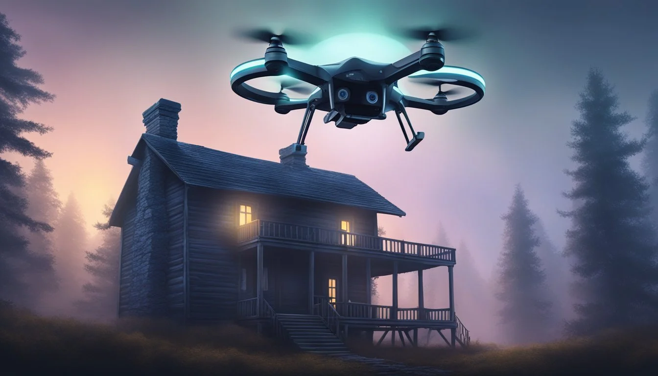
Surveying haunted outdoor locations often comes with unique challenges, from difficult terrain to concerns about safety and accessibility. Drones offer a practical solution for safely and efficiently exploring these sites, providing high-quality aerial views and documentation without putting people at risk. Their ability to access hard-to-reach areas makes them especially useful for paranormal investigators, historians, and curious explorers alike.
With advanced features such as 3D mapping, thermal imaging, and real-time video transmission, drones allow users to examine haunted sites from multiple angles and collect valuable data. These technologies help reveal hidden features and document landscapes that might otherwise be missed during a traditional ground survey. By combining modern drone capabilities with an interest in the unknown, anyone can unlock fresh perspectives on mysterious outdoor locations.
Understanding Drones for Haunted Outdoor Surveys
Surveying haunted outdoor locations requires precise tools that can navigate challenging environments and provide detailed visual data. Drone technology brings unique advantages to this process by offering new methods for observation, measurement, and documentation.
What Are Drones
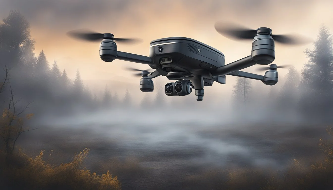
Drones, also called unmanned aerial vehicles (UAVs), are remote-controlled aircraft equipped with cameras or sensors. They can fly autonomously using programmed routes or be directed by operators on the ground. Modern drones come in various sizes, with features that range from basic video recording to advanced thermal imaging.
These devices are valuable for capturing aerial photos and videos of locations that are difficult or unsafe for humans to access. The ability to hover, maneuver in tight spaces, and change altitude quickly makes them well-suited for exploring abandoned or haunted sites.
Many standard drones can also be customized with attachments like infrared cameras, mapping tools, and environmental sensors. This flexibility allows each mission to be tailored to the survey’s specific needs.
Drone Technology Overview
Drone technology relies on integrated systems such as GPS navigation, high-resolution cameras, and real-time image transmission. Key technical features include:
GPS and flight stabilization systems to maintain steady altitude and position
Obstacle avoidance sensors using ultrasonic or infrared technology
High-definition and thermal cameras for detailed imaging
Long-range remote control and first-person view (FPV) capabilities
Battery life typically ranges from 20-40 minutes per flight, depending on the model and payload. Many drones also have automated flight planning software, allowing route pre-programming for consistent coverage. These features enhance the efficiency and accuracy of surveying large or complex haunted outdoor sites.
Benefits of Using Drones in Haunted Locations
Drones provide several practical benefits when surveying potentially haunted outdoor places:
Safety: Operators can investigate structurally unstable or hazardous sites remotely, reducing personal risk.
Access: Drones can reach areas surrounded by obstacles, overgrown vegetation, or rough terrain with ease.
Data Quality: Aerial perspectives and advanced imaging tools yield detailed orthomosaics, 3D models, and thermal maps.
Efficiency: Multiple sites or large properties can be documented quickly compared to ground-based methods.
Using drones also helps preserve the integrity of sites by minimizing foot traffic and disturbances to fragile environments. This is particularly valuable when surveying locations that are both historically significant and rumored to be haunted.
Key Applications of Drones in Haunted Site Exploration
Drones have transformed how haunted outdoor locations are documented and investigated. Their ability to capture wide-area imagery, record potential sightings, and deliver high-resolution data has opened new opportunities for researchers and enthusiasts seeking clear, objective evidence from challenging environments.
Aerial Mapping and Surveying Techniques
Drones equipped with GPS and high-resolution cameras perform systematic flights over haunted sites. This allows for the creation of accurate maps and 3D models, making it possible to document site conditions and landscape features with precision.
Frequent aerial surveys help track physical changes caused by weather, vegetation, or human activity. Patterns like disturbance in the terrain or new access paths are easily logged over time.
By using orthomosaic mapping, teams can compare before and after images of key zones. This supports investigation by helping to isolate regions with unexpected or unexplained changes that might correspond to reported activity.
Capturing Paranormal Sightings
Drones provide a unique viewpoint, recording real-time video and still images from above and hard-to-reach areas. Thermal and night-vision cameras enable monitoring during low-light conditions, where many reports of paranormal activity occur.
Automated flight paths combined with motion detection help capture potential sightings with minimal human presence, reducing the risk of influencing the environment. Drones can also revisit exact locations based on GPS coordinates, allowing for repeatable documentation.
When anomalies are recorded, video footage can be analyzed frame by frame. This process increases the chance of identifying and verifying unexplained sightings that would be hard to notice from the ground.
Panorama and High-Resolution Imaging
Wide panorama shots taken by drones are useful for presenting the overall setting of haunted sites. These sweeping images offer context and allow viewers to see spatial relationships between reported paranormal hotspots.
High-resolution imaging provides detailed records of specific areas, documenting features like historic markers, ruins, or artifacts where sightings have been reported. Such data can be preserved for future analysis or to share with other investigators.
By combining panorama and zoom imaging, teams can both spot broad areas of interest and then focus in on details. This dual approach is valuable in identifying visual evidence and archiving the exact conditions present during an investigation.
Selecting the Best Drone for Haunted Outdoor Locations

Choosing a drone for surveying haunted outdoor areas involves careful consideration of both technology and unique site requirements. The right drone setup improves data accuracy, covers hard-to-reach spots, and helps document suspicious activity safely.
Essential Features for Haunted Site Surveys
Flight stability is crucial in unpredictable outdoor conditions such as wind or uneven terrain. Quality GPS modules and advanced obstacle avoidance help maintain control around trees, gravestones, or building ruins.
Night vision or thermal imaging capabilities are often essential since surveys may occur at dusk or after dark when activity is most reported. Drones with live video feeds allow operators to monitor from a distance, reducing intrusion and ensuring safety.
Long battery life and extended range guarantee that the drone can cover wide, isolated properties in a single flight. Payload capacity should support additional sensors or cameras required for paranormal documentation.
Noise level is another consideration, as quieter drones are less likely to disturb wildlife or the ambient environment, preserving natural site conditions during investigation.
Recommended Models and Equipment
Many field teams favor the DJI Mavic 3 Enterprise for its robust flight time, efficient sensors, and high-resolution night video options. The DJI Phantom 4 RTK is another popular choice, especially for surveys needing precise mapping due to its integrated RTK positioning system.
Some investigators use LiDAR drones for 3D modeling of old ruins or graveyards, though these models tend to be more expensive. For thermal imaging, DJI Matrice series drones equipped with thermal sensors are effective.
A quick lookup table:
Model Notable Features DJI Mavic 3 Enterprise Night vision, compact, reliable flight DJI Phantom 4 RTK High mapping accuracy, RTK GPS DJI Matrice Series Modular payloads, thermal capabilities
Essential accessories include spare batteries, ND filters, extra propellers, and a secure carrying case for transportation across rugged terrain. Proper equipment selection helps teams quickly adapt to changing conditions at haunted sites.
Challenges and Considerations in Surveying Haunted Outdoors

Drones used in haunted outdoor locations face practical, regulatory, and ethical obstacles. Survey teams must carefully plan for unpredictable elements and sensitive environments when collecting data where ghost activity is suspected.
Weather and Environmental Factors
Outdoor haunted sites can present challenging weather conditions such as fog, rain, or sudden temperature drops. These factors reduce drone visibility and may interfere with sensors, GPS signals, or camera clarity.
Heavily wooded or rugged areas often limit the available space for stable drone takeoffs and landings. Dense tree cover and uneven ground can also obstruct flight paths, making it difficult to adequately map the terrain.
Battery life is an issue in colder environments, as low temperatures decrease performance and limit flight times. Crews may need extra batteries or special cases to maintain power in remote areas.
Equipment should be checked before flights for moisture or debris. Using weather-resistant drones and protective cases extends the operation window, but no drone can operate safely during extreme weather events.
Legal Concerns and FAA Guidelines
Operating drones in haunted outdoor locations requires strict compliance with Federal Aviation Administration (FAA) rules in the United States. Operators must maintain line-of-sight, avoid flying over people, and adhere to airspace restrictions.
Special permits may be needed if the site is near airports, in state or national parks, or on historic grounds. Some locations could require night operation waivers if surveys extend after dark, as is common in paranormal investigations.
Failure to follow FAA guidelines can result in legal penalties or restrictions on future flights. It is also necessary to obtain the landowner's permission, especially when exploring private or protected properties.
A checklist helps ensure all paperwork, drone registration, and insurance requirements are met before arrival. Survey teams should also monitor for temporary flight restrictions or local regulations that impact drone use.
Ethics of Surveying Alleged Paranormal Sites
Surveying locations rumored to be haunted requires attention to privacy, consent, and respect for local cultures. Many haunted sites are near burial grounds or places of cultural significance, and drone operations could be seen as intrusive.
Before conducting any survey, teams should seek permission from property owners and, when relevant, consult with community leaders or historical societies. Transparent communication about the survey’s purpose and methods helps build trust.
Misrepresenting drone imagery as evidence of ghosts is discouraged, as it can lead to misinformation or public concern. Responsible operators document only factual observations and avoid exaggerating paranormal claims in their reporting.
Noise from drones may disrupt the ambiance or rituals sometimes held at these sites. Limiting flight time and using quieter drone models shows consideration for both people and cultural expectations.
Case Studies: Drone Use in Haunted Landscapes
Drones have become a valuable asset for surveying outdoor sites where paranormal activity is suspected. Their aerial vantage gives users access to real-time imagery, making it possible to investigate both historical anomalies and current unexplained phenomena.
Farmers Discovering Paranormal Activity
Farmers who manage large rural properties have started using drones to monitor their land for crop health, livestock, and infrastructure. In some cases, they have captured unusual occurrences in fields or near abandoned structures, such as fluctuating cold spots or strange movement patterns at night.
One notable account involved drone footage revealing faint shapes around old barns long considered “haunted” by local residents. Farmers used infrared attachments to document brief temperature drops, triggering interest from both researchers and paranormal groups.
Several landowners report that drone evidence led to community discussions about regional ghost stories and forgotten events tied to the landscape. This approach has offered more tangible data for those interested in the intersection of agricultural history and myths.
Notable Surveyed Locations
Certain outdoor sites stand out for their frequency of reported paranormal encounters and subsequent drone investigations. Sites such as the Bergen House—referenced in online videos—and remote wooded clearings have been the focus of drone-based surveys.
Drones provide detailed aerial maps, allowing teams to identify structures or features that are hard to see from the ground. In these haunted landscapes, drones have recorded video and thermal data, highlighting cold patches or unexplainable movement.
Researchers rely on drone-acquired lidar in forested or overgrown areas, helping to map both visible and hidden elements of the terrain. This technology uncovers potential locations for in-depth investigation without disturbing the site or missing obscure clues.
Lessons Learned from Real Investigations
Drone use in haunted locations has highlighted several practical findings:
Environmental factors: Weather and vegetation often interfere with readings, requiring careful planning and multiple passes.
Subjectivity: Interpreting anomalous footage, such as supposed “ghost” sightings, remains challenging. Most evidence is inconclusive and demands follow-up on foot.
Documentation: Drones excel at providing consistent, timestamped records. This supports transparent analysis, peer review, and better collaboration between amateur investigators, farmers, and researchers.
Teams have found that combining drone data with local oral histories enriches the context of their findings. The greatest value is often in the documentation and mapping capabilities, rather than in confirming supernatural activity.
Advanced Imaging and Data Collection Techniques

High-precision drones use advanced sensors and software to support consistent data collection in haunted outdoor settings. These technologies enable efficient, scalable investigations as well as the detection of subtle or hidden features in the landscape.
Square Grid Mapping Strategies
Survey teams often use a square grid mapping approach for thorough coverage of haunted locations. This method divides the site into equal squares, ensuring systematic scanning and minimizing the chance of missing anomalies.
Drones follow GPS-guided flight paths, moving back and forth in overlapping lines around each grid square. Sensors such as high-resolution cameras and LiDAR can capture clear visuals and elevation data.
Table: Example Grid Parameters
Parameter Typical Value Square Size 10 m x 10 m Overlap Percent 70-80% Flight Altitude 30-50 meters
This structure supports repeatable surveys, making it easier to identify changes or new features detected across grids over time.
Pesticide Detection and Uncovering Anomalies
Drones equipped with multispectral sensors can help detect traces of pesticides in soil and vegetation. These sensors capture specific light wavelengths that indicate chemical residues and plant stress, which may affect the site's ecosystem or reveal human activity not visible to the naked eye.
Detecting pesticides is important at haunted sites as it can cause false positives in anomaly searches by masking or mimicking natural changes in vegetation patterns. Drone data is cross-referenced with records of site usage to help separate ordinary agricultural activity from unusual or unexplained disturbances.
By systematically recording both anomalies and chemical indicators, teams can better control variables and focus on genuinely unexplained phenomena.
Future Trends in Drone-Assisted Paranormal Surveying

Advances in drone technology are influencing both how haunted sites are surveyed and the type of data collected. As artificial intelligence matures, new tools and methods are emerging that go beyond conventional ghost hunting tactics.
Integration of AI and Automation
Artificial intelligence systems are being built into drones to help automate the detection of environmental anomalies. This technology enables faster scanning and processing of thermal imaging, audio, and electromagnetic data. With automated flight paths, drones can cover outdoor sites at night or in low-visibility conditions with more consistent results than manual surveys.
Machine learning algorithms can sift through vast data sets from these flights to flag patterns and anomalies, which speeds up investigations. For example, AI can help distinguish between common environmental noises and potentially paranormal audio signatures. Automated mapping software generates 3D models of haunted sites, supporting more accurate documentation and review.
Key Benefits:
Faster anomaly detection
Improved precision in low-light environments
Consistent, repeatable flight paths
Automated data processing
Expanding Applications Beyond Ghost Hunting
Drones are now being used for more than traditional ghost investigations. Survey teams are deploying unmanned aerial vehicles for historical documentation, tracking environmental changes, and even searching for underground structures in haunted outdoor locations. Multispectral imaging can identify unmarked graves or past disturbances in the landscape, offering insight for both paranormal and archaeological studies.
In addition, collaboration between paranormal researchers and other disciplines is increasing. For example, environmental scientists may use drone-gathered data to monitor how natural events impact haunted sites over time. These new applications expand the impact and scope of drone-surveying technologies well beyond their original purposes.
Potential Uses:
Application Description Historical Mapping High-resolution imagery for archiving haunted sites Landscape Monitoring Detection of changes that affect site integrity Anomaly Detection Identification of heat, sound, and EMF changes Archaeological Survey Locating unmarked graves or hidden structures